Verified against government sources
GADM34 and GADM63 are verified against government data sources and enriched with postal codes, administrative division codes and VN-2000 coordinate reference information.
 gmapcloud

Verified addresses and POIs, parcel records and administrative reference data for enterprise use.
GADM34 and GADM63 are verified against government data sources and enriched with postal codes, administrative division codes and VN-2000 coordinate reference information.
Supports spatial analysis, administrative-area aggregation and reporting within enterprise data workflows.
APIs serve the latest available data. Datasets are updated periodically.
Coverage & data quality →Turn a query or coordinate into location information for your application.

Search by keyword, with suggestions as you type.

Find addresses and places around a coordinate.

Explore places and categories by radius or viewport.
Choose the administrative version and projection that match your business data.
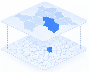
Two-level administrative model.
Three-level administrative model.
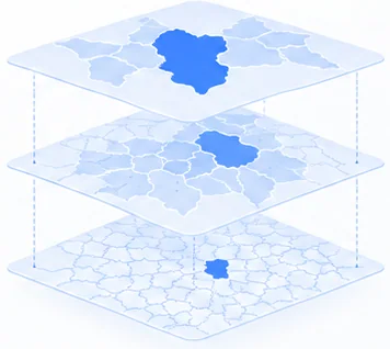
GADM34 / GADM63 identify administrative versions. Coordinate conversion uses the projection and parameters that match the source data.
Choose vector maps or satellite imagery for your application.
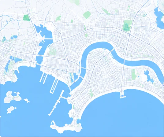
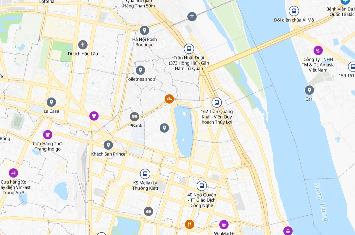
Roads, buildings and places on a light canvas.

The same basemap data in a dark style.
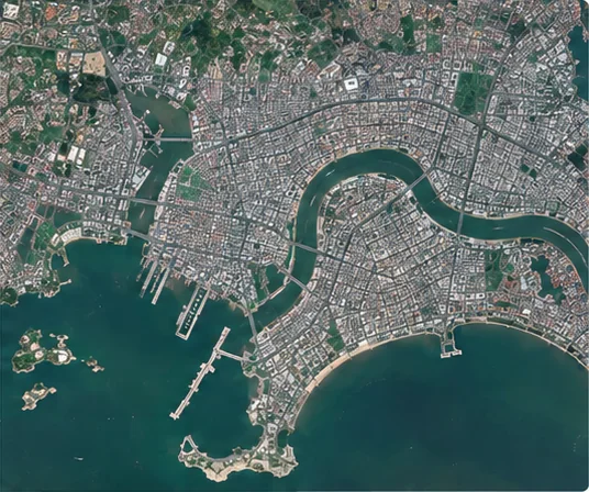
Raster layers according to source imagery and available coverage.
Bring journey calculations into delivery and operational workflows.


Connect locations in the requested order.

Calculate the visiting order for a multi-stop trip.

Compare pairs of departure and arrival points.

Create isochrones based on travel time.
Hanoi · 3.22 km · estimated 18 min · GeoJSON
View sample response ↗Availability varies by area, dataset and agreed scope.
DA NANG · GADM63
Sheet number · Parcel number · Legacy ward/commune code
Hòa Châu commune, Hòa Vang district under the legacy administrative model.
QHSDD raster planning layer.
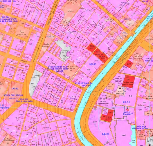
Parcel boundaries and current land-use types.
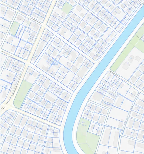
The API example and map images illustrate separate operations. Planning coverage, sources and versions are confirmed for each area. View data coverage →
Two tools to support your team before integration.
Explore endpoints, parameters, authentication and response schemas.
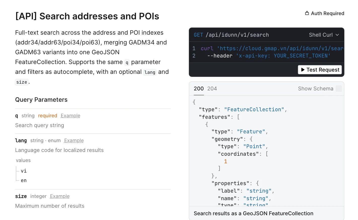 Open API docs
Try interactions and inspect data on a map.
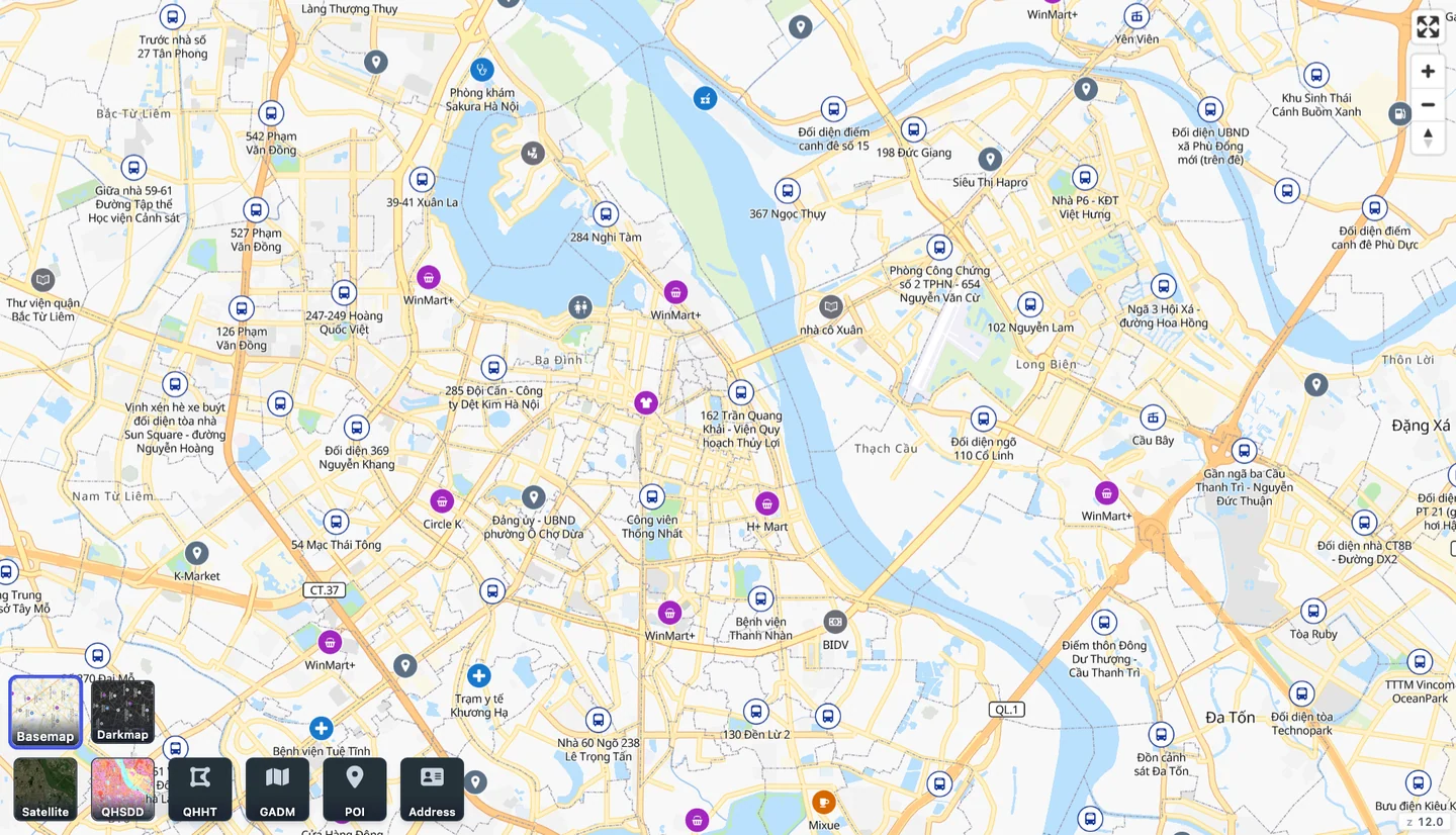 Open Playground
For evaluation; production access is agreed according to your requirements.
Read the documentation, run queries and inspect results in Playground.
Discuss APIs, deployment area, traffic and application access scope.
Agree datasets, delivery and usage rights under an enterprise contract.
You can read the API documentation and try the features in Playground. Production access is discussed according to your deployment requirements.
GMap Cloud supports administrative information for GADM 34 and GADM 63. Lookup results may include addresses under both administrative models; availability depends on the record and dataset.
Coverage for parcels, land-use planning and current-status planning varies by area and dataset. Share the province, ward or commune, or coordinates you need so GMap can confirm coverage before integration.
View data coverage →Contact GMap with the APIs you need, your deployment area and expected traffic. Access scope, usage terms and production API key provision are agreed according to your application requirements.
Discuss integration requirements →The API provides province-based projection lookup and conversion between WGS84 and VN-2000 for supported projections. Integration requires the correct source coordinate system, projection parameters and coordinate order for your dataset.
Tell us about your application and deployment area so we can identify the next step together.
 WGS84VN-2000